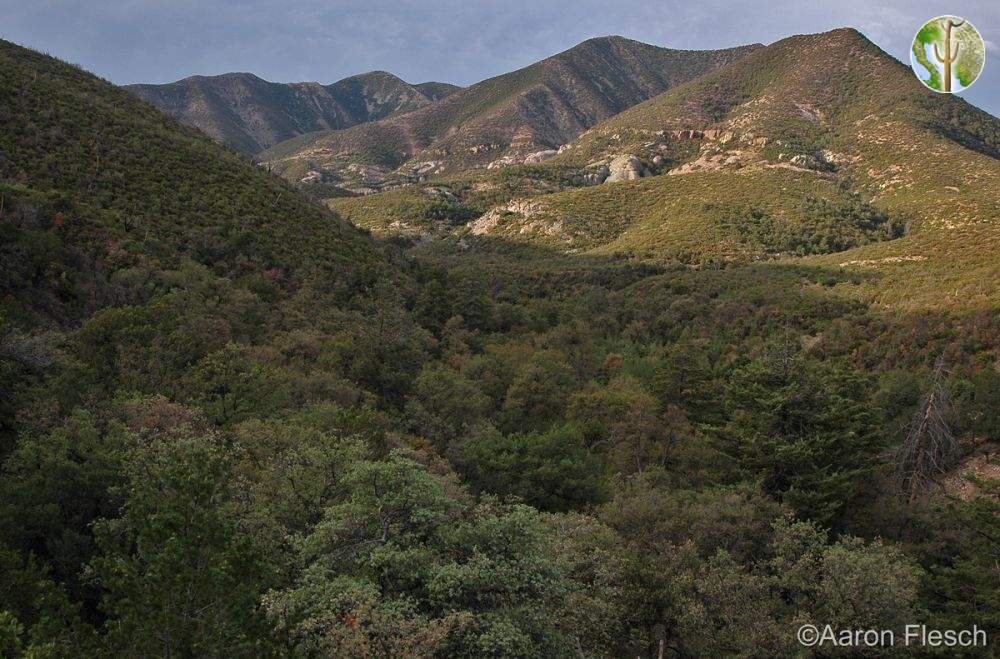
Sierra San Luis
Highest Point
The Sierra San Luis is the last official northward effort of the Sierra Madre Occidental. They are overlaid by the Chihuahua/Sonora border and peter out just before the U.S. Border.
As part of a complex with the Sierra Pan Duro, they form a horseshoe around a tributary of the Rio Bavispe called the Cajon Bonito, which is considered one of the more intact riparian ecosystems in the region. The high country of the Pan Duro/San Luis complex is made up of several named high elevation areas on Inegi maps.
The ends of this high elevation horseshoe peter out to the north, but before completely disappearing these hills reform into the U.S. Sky Islands the Peloncillos and the Animas. To the south they are connected by a low divide to the Púlpito.
This range really does sit at the intersection of our main bioregional influences. More than anywhere in Sonora, there is a Rocky Mountain or Great Basin feel to the vegetation. Juniper instead of oak dominate much of the range and real chaparral exists in some areas. The juniper titmouse can be found here, where the rest of Sonora and most of the Arizona Sky Islands harbor the bridled titmouse. Valleys connected to the north have the southwestern-most true plains grasslands vegetation community.

