170 Years of Natural History in Cuenca Los Ojos, Sonora, Mexico
Boundary Surveys
The Treaty of Guadalupe Hidalgo in 1848 at the end of the United States-Mexico War established the boundary between the two nations, and expanded the United States to the Pacific Ocean. In 1853, the Gadsen Purchase added the area along the modern Arizona-New Mexico-Sonora border to the United States. The expeditions to survey the border between 1848 and 1855 were the rst biological inventories of the borderlands. Many common Sky Islands plants were named for survey botanists Arthur Schott, Charles Wright, Christopher Parry, George Thurber, John Bigelow, and expedition director Major William H. Emory, U.S. Army.
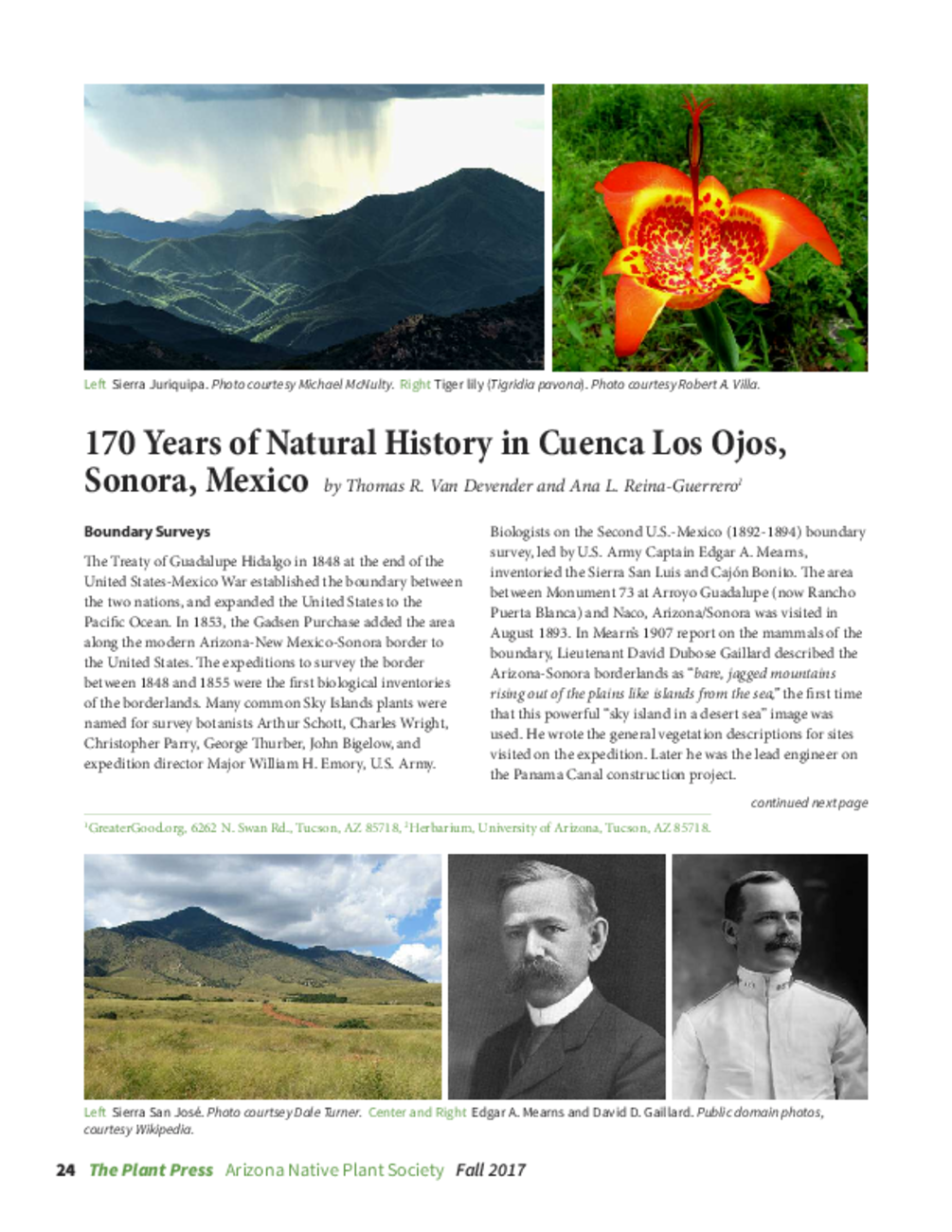
Biologists on the Second U.S.-Mexico (1892-1894) boundary survey, led by U.S. Army Captain Edgar A. Mearns, inventoried the Sierra San Luis and Cajón Bonito. The area between Monument 73 at Arroyo Guadalupe (now Rancho Puerta Blanca) and Naco, Arizona/Sonora was visited in August 1893. In Mearn’s 1907 report on the mammals of the boundary, Lieutenant David Dubose Gaillard described the Arizona-Sonora borderlands as “bare, jagged mountains rising out of the plains like islands from the sea,” the rst time that this powerful “sky island in a desert sea” image was used. He wrote the general vegetation descriptions for sites visited on the expedition. Later he was the lead engineer on the Panama Canal construction project.

