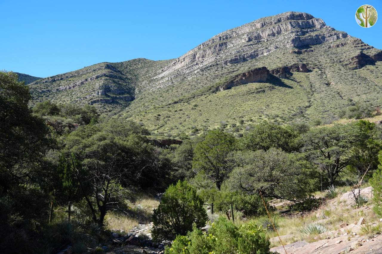
Whetstone Mountains
Highest Point
The Whetstone Mountains reach their high point of 2,350 meters (7,711 feet) on Apache Peak. The basal area is relatively high for the Sky Islands beginning firmly in semi-desert or full grasslands. Watersheds on the eastern side drain into the San Pedro River, while those on the western side feed Cienega Creek and eventually flowing into the Rillito River in the Tucson basin, which with the Santa Cruz River shortly thereafter.
Botanically, the Whetstone Mountains include and are surrounded by Plains Grassland and Semi-desert Grassland. Above the grasslands, Madrean Evergreen Woodland covers most of the mountain range, with the highest elevations supporting small stands of ponderosa pine. Some areas are very much like Interior Chaparral. Several major canyons contain stretches of deciduous riparian forest, with galleries of sycamore and oak.
The Whetstones are an often overlooked part of the Sky Islands. They have extensive limestone formations, which include large caves only recently discovered and made into the highly regarded Kartchner Caverns State Park.

