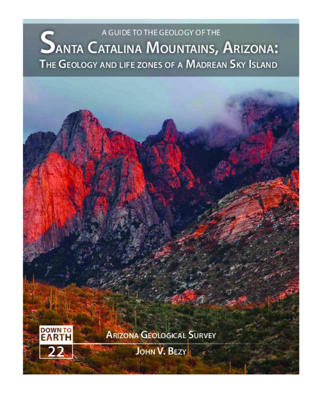
Santa Catalina Mountains, Arizona: the Geology and life zones of a Madrean Sky Island
Natural landscapes have distinctive personalities. Each is the product of the interplay of geology, climate, vegetation, time, and often, human activities. The landscapes that form the Santa Catalina Mountains of southeastern Arizona give that range a unique personality like no other in the American Southwest.
Rising as a great mountain island to over 9000 feet in elevation at their summit, Mount Lemmon, the Santa Catalina Mountains are the greatest expanse of high country within the Sonoran Desert (Map A). An unusual dome-like profile (Figure 1) sets it apart from the numerous, steep, sharp-crested mountain ranges in the region. This distinctive profile is a legacy of the range’s remarkable geologic history and the structure of its bedrock. Formed miles deep within Earth’s crust before being exhumed, this ancient structure has guided surface weathering and erosion for millions of years. The result is a mosaic of mountain landscapes of singular beauty and complexity.
An extraordinary assemblage of large and small landforms, uncommon in most other Southwestern ranges, makes up the landscapes of the Santa Catalina Mountains. These landforms are the products of a host of geologic processes. Erosion by flash flooding is the most important, cutting deep canyons that provide access to the heart of the range (Figure 2). Massive landslides, debris flows and rock falls also actively sculpt mountain slopes and feed loose rock material to streams for transport to the adjacent basins. Chemical and mechanical weathering, although less dynamic, are important processes that place their stamp on every part of the range.
These processes have not been uniformly active throughout the geologic life of the range. Erosion by running water, for example, has sculpted the Santa Catalina Mountains since its bedrock was first exposed to the atmosphere and continues to be the dominant process shaping the modern landscape. Mud slides, deep chemical weathering, and freeze-thaw shattering of the bedrock wear down mountain slopes today but were far more active during wetter climatic cycles of the geologic past. Faulting gave rise to the original uplift of the range and shaped today’s basin and range topography of southern Arizona, yet has not been active over the past 5 million years. Acting alone and in concert, these processes have sculpted a magnificent landscape montage from the bedrock of the Santa Catalina Mountains.
The biological diversity of the range is as complex as the geology. The Santa Catalina Mountains rise as a great mountain island from the vast, sea-like expanse of the surrounding Sonoran Desert. Temperature decreases and precipitation increases as one ascends from 2,500 to 9157 feet in elevation. This elevation increase, slope aspect, topography, rock type, cold air drainage, climatic fluctuations during and since the last Ice Age, and a host of other factors are responsible for the rich mosaic of life zones found in the Santa Catalina Mountains.

