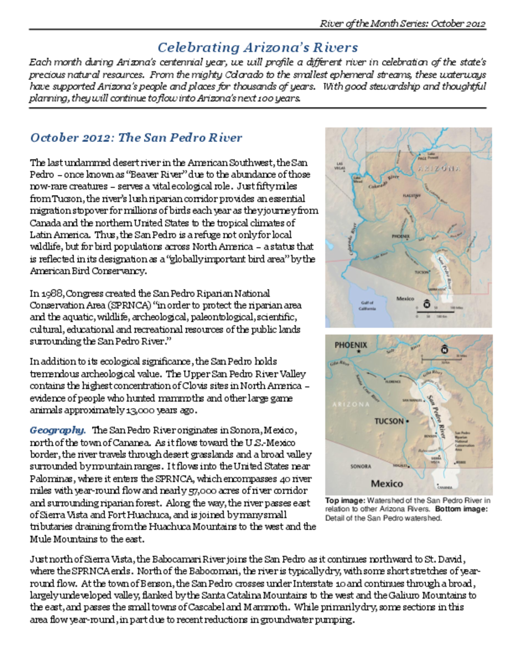
Celebrating Arizona’s Rivers - the San Pedro River
Created as part of a collection of Arizona river overview documents titled "River of the Month Series, Celebrating Arizona’s Rivers". These reports were prepared and supported by Environmental Defense Fund, Sonoran Institute, Sierra Club, Grand Canyon Trust, Western Resource Advocates, and University of Arizona Water Resources Center.
The Gila River stretches nearly 600 miles across Arizona, flowing west from the New Mexico border until it reaches the Colorado River. It drains an area of nearly 60,000 square miles – an enormous watershed totaling half the land in the state. Almost every major river in Arizona eventually flows to the Gila, which along with its tributaries has irrigated vast agricultural lands from the time of the Hohokam people to the present day. Although long stretches of the Gila historically flowed year-round, the large number of dams and diversions constructed over the last 100 years have severely reduced or eliminated once healthy flows in many reaches of the river.

