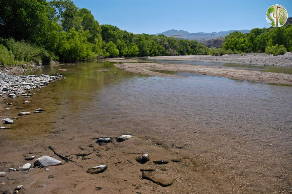
Rio Bavispe
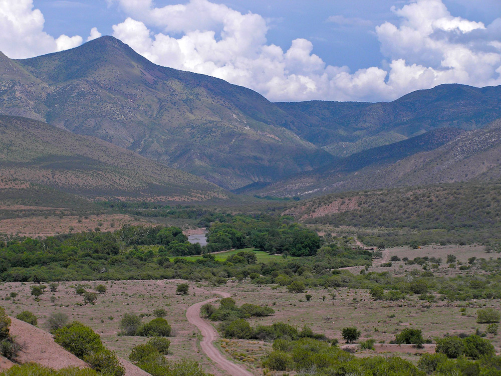 The Rio Bavispe encompasses a large part of the northern and northeastern part of the Rio Yaqui watershed (Sonora's largest). The main stem of the Bavispe starts in the Sierra Madre in western Chihuahua and eastern Sonora, east and southeast of Huachinera, flowing northwest through mountainous country until the upper end of the wide Bavispe Valley. This valley trends northward until making a 180 degree curve around the Sierra El Tigre at Colonia Morelos. From here a large watershed to the north joins, and the Bavispe flows southward for around 80 miles before meeting the larger Rio Aros to form the Yaqui. Presa La Angostura interrupts this stretch forming a large reservoir on west foothills of the Sierra El Tigre.
The Rio Bavispe valley holds quite a bit of history having been the center of many Apache raids and Mexican military attacks. Missionaries first settled this area in the early 1600's, while much of the southwest was still unsettled.
Major Tributaries
The Rio Agua Prieta begins in the southeastern corner of Arizona around Douglas and the surrounding country and meets up with the Rio Fronteras which flows north from near Nacozari de Garcia. The Fronteras flows perennially in areas and has some nice cottonwood/willow riparian forest. Sonoran Mud Turtles and native fish can be found there. The Cajón Bonito joins the system just east of here. It drains the Sierra San Luis and northern end of the Sierra Madre. The upper part of the Cajón Bonito is an example of a very healthy riparian ecosystem. From here the Rio San Bernardino joins and this reach flows south to meet the Bavispe proper at Colonia Morelos, at the Northern end of the Sierra El Tigre.