HomeWild Sonora
  • Home
  • Photos
  • Galleries
  • Papers
  • Maps
  • Sky Islands
  • Vegetation
  • Threats
  • Blog
  • About
    • Geographical Coverage
    • About Sonora, Mexico
    • Related Links
    • Outside Resources

River Rafting

How to find (almost) current flow data on Sonoran Rivers

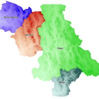
Map of large watershed areas of Sonora, Mexico
Content Type: Article

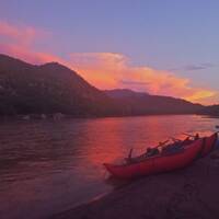
Twelve Days From the Rio Tutuaca

Content Type: Gallery

Twelve Days From the Rio Tutuaca

Confluence of Rio Tutuaca and Sirupa, begin Rio Aros
Content Type: Article

Navigating the Santa Cruz River by boat

Content Type: Gallery

Floating the Santa Cruz River in inflatable kayaks

Content Type: Gallery

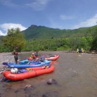
Rio Aros and Yaqui Raft Trip, Monsoon 2012

Content Type: Gallery

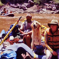
Lane Larsen, Adventure Seeker and Explorer

Lane Larsen, guiding a 2005 Rio Aros expedition
Content Type: Basic page

Rio Aros and Yaqui Biological Inventory, July 2005

Content Type: Gallery

Rio Aros/Yaqui Float Trip April 2011

Content Type: Gallery
SubscribeSubscribe to River Rafting

Search

Wild Sonora is designed to be a community site. Create an account to participate!

Log in to create content and share your experiences and photography with Wild Sonora's many visitors. Once logged in you can also see and contact other Wild Sonora members.

Follow Wild Sonora on FaceBook.