
How to find (almost) current flow data on Sonoran Rivers
It took me a bit of effort to find this info, so I figured I'd share it here. Conagua seems to regularly change where they report these data, so until these links stop working, here is how to find the recent flow data (gastos) for some of Sonora's rivers. These Boletins appear to come out somewhat irregularly and are a challenge to find, but hopefully the methods below will continue to work.
Conagua publishes a PDF semi-regularly which contain river flows in the middle section of the PDF under "ESTACIÓN HIDROMÉTRICA". Finding the latest version seems like a challenge. Clicking on "Reporte de Presas" on this webpage seems to get the latest one (at least right now): https://www.gob.mx/conagua/acciones-y-programas/noroeste. Another method is to put this search in Google: "Boletin OCNO" site:gob.mx", then use the "Tools" in the resulting search to filter by the last month to find the most recent PDF.

Also here is a handy converter to get Cubic Feet per Second (CFS) from Cubic Meters per Second (CMS): https://www.kylesconverter.com/flow/cubic-meters-per-second-to-cubic-feet-per-second.
Here's the previous way to find this data, which was great, but seems to have been abandoned back in 2021:
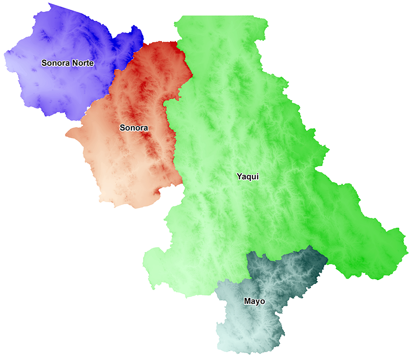
The various basins are listed here (Sonora Norte, Sonora, Yaqui, Mayo): https://app.conagua.gob.mx/spr/no.html. Click on a watershed area to see a page with a list and clickable map for each gauging station: https://app.conagua.gob.mx/spr/yaqui.html. For example, here is the Paso de Nacori gauging station on the Rio Aros: https://app.conagua.gob.mx/spr/pasodenacori.html.